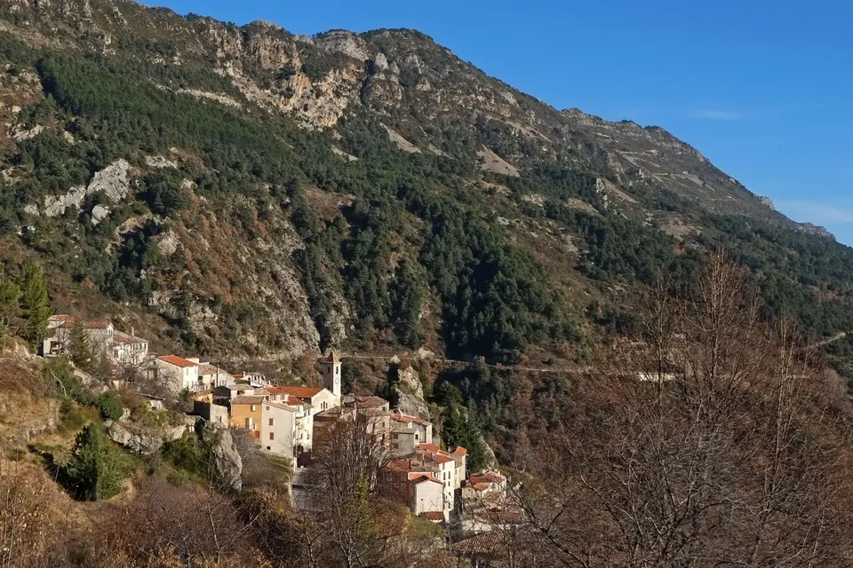
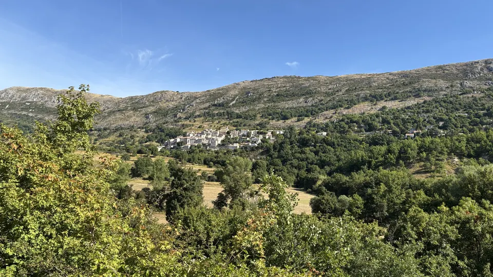
From Toudon, this loop climbs towards the Collettes pass and then the summit. It crosses open slopes and wooded areas, with views of the village and the mountains of the Préalpes d'Azur.
Toudon seen from the trail towards the cime des Collettes. Photograph taken on 14 December 2013. Jpchevreau · CC BY-SA 3.0 · Credits · Resized and compressed to WebP; proportions preserved; may be cropped for display. Derivative versions under CC BY-SA 3.0.
Plan your visit
Address
Place de la mairie, Toudon
Access and precautions
Check for any closures on the departmental Randoxygène route page. Respect livestock and guardian dogs; check the weather and access restrictions for the hills.
Duration
3 hr 30 min
Distance
7.7 km
Difficulty
Moderate
Prices
Check prices with the venue on its official website.