From col d’Arron in L’Épine, this loop reaches the Sarcéna and Aup ridges, then the summit of Le Duffre at 1,760 m. The park gives 14.3 km, five hours of walking, a moderate difficulty level and 695 m of elevation gain. The return route passes through Pas la Lauze, with a descent described as fairly steep.
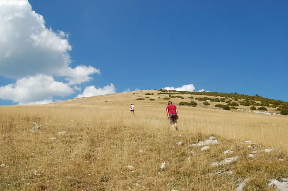
Grassy slope of Le Duffre with hikers, photographed by Aurélien Breeden on 20 August 2009 according to the EXIF data. This old view does not show current conditions or the starting point at col d’Arron. Aurélien Breeden · CC BY 2.0 · Credits · Resized and compressed to WebP; proportions preserved.
Plan your visit
Address
Col d'Arron, L'Épine
Access and precautions
Part of the route is exposed to the sun; bring water and suitable protection. Fairly steep descent at Pas la Lauze. Close gates behind you, respect livestock and livestock guardian dogs, do not pick protected plants, and check the weather and wildfire restrictions before setting out. Passability on the day is not guaranteed.
Duration
5 hrs
Distance
14.3 km
Difficulty
Moderate
Prices
Check prices with the venue on its official website.