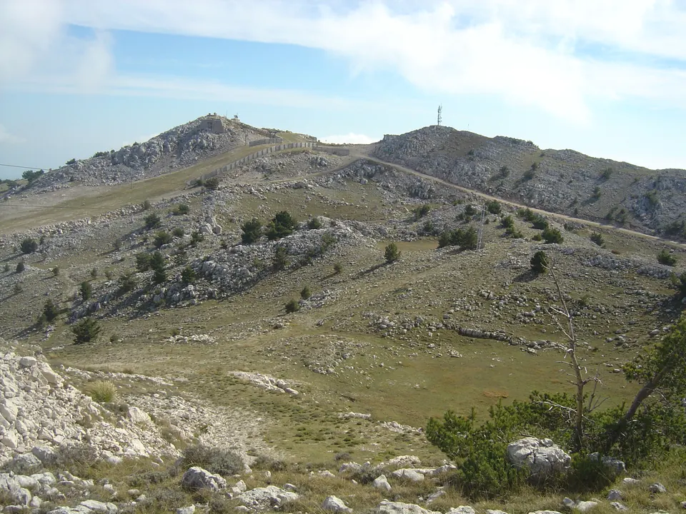
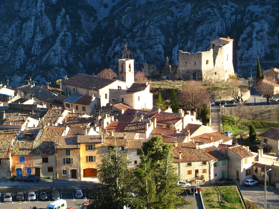
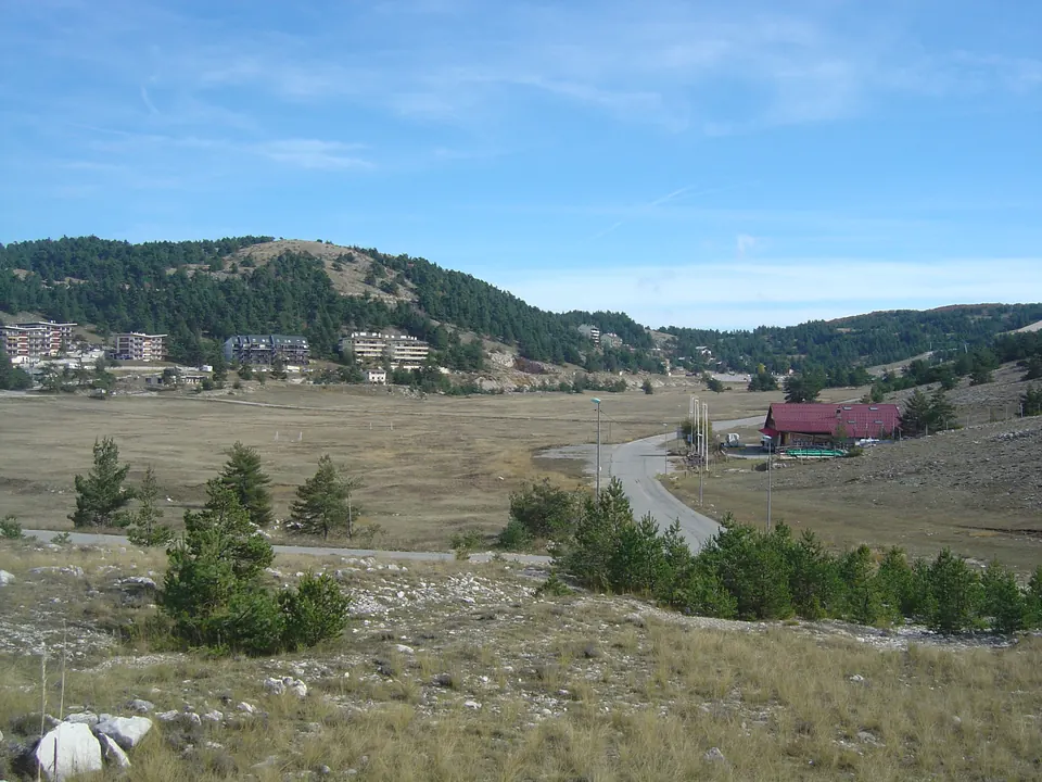
From the village of Gréolières, this ascent reaches the cime du Cheiron. The climb involves significant elevation gain and leads to a wide panorama over the Prealps and towards the Mediterranean.
Summit of the cime du Cheiron with its antenna, photographed on 19 October 2014. Anthospace · CC BY-SA 4.0 · Credits · Resized and compressed in WebP format; proportions preserved, possible cropping on display. Derivative versions under CC BY-SA 4.0.
Plan your visit
Address
Parking de la Faïsse, Gréolières
Access and precautions
Difficult hike: prepare equipment and water, and check the weather and snow conditions. After point 3, waymarks become less obvious in open terrain. Respect livestock and access restrictions.
Duration
5 hrs
Distance
11.4 km
Difficulty
Difficult
Prices
Check prices with the venue on its official website.