Arvieux · Hautes-Alpes
ARVIEUX – Lac de Roue Viewpoints
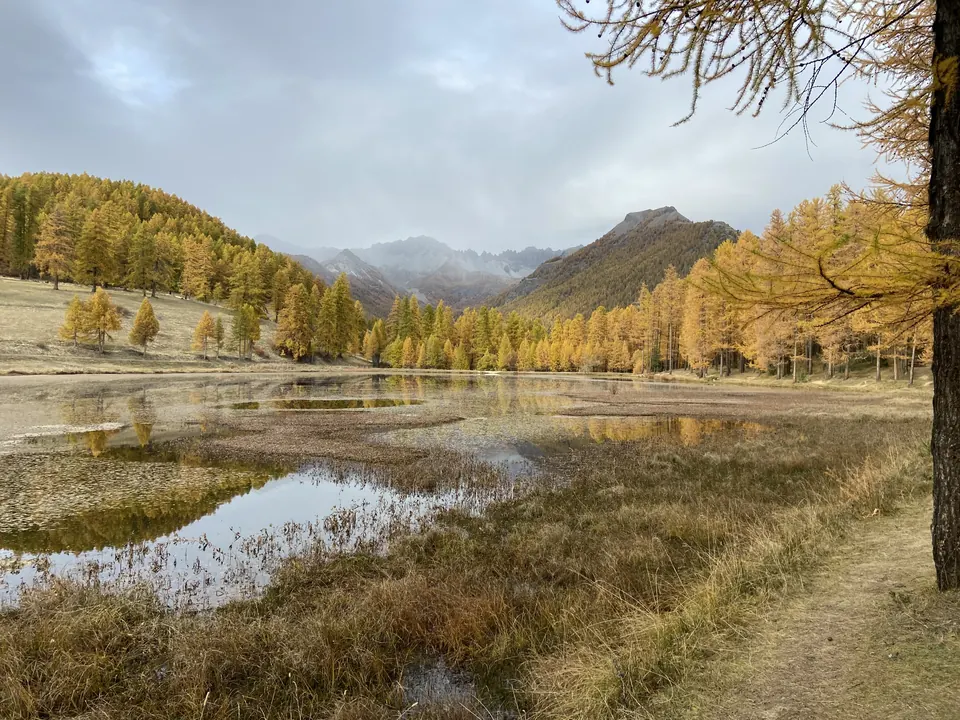
From the hamlet of Les Maisons, the path reaches lac de Roue, then two viewpoints over the Guil valley. This short loop takes in the lake, larch trees and views of the Queyras.
View details → Tourism INPROVENCE
Arvieux · Hautes-Alpes
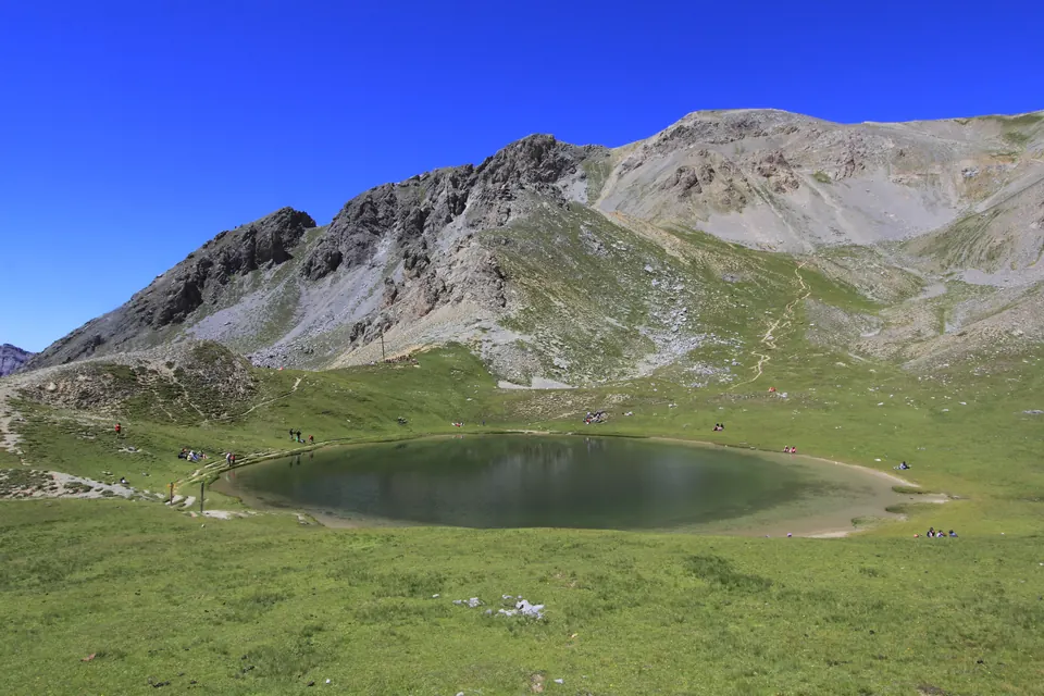
From the Casse Déserte area, the path to Lac de Souliers crosses Bois Noir and then alpine pastures. It reaches a high-altitude lake overlooked by the slopes of pic de Rochebrune.
Information checked on · Parcs naturels régionaux de la région Sud · Chemins des Parcs
Ideas for outings, practical information and official sources to help you plan your visit. Check conditions with the venue before travelling.
Arvieux · Hautes-Alpes
From the hamlet of Les Maisons, the path reaches lac de Roue, then two viewpoints over the Guil valley. This short loop takes in the lake, larch trees and views of the Queyras.
View details →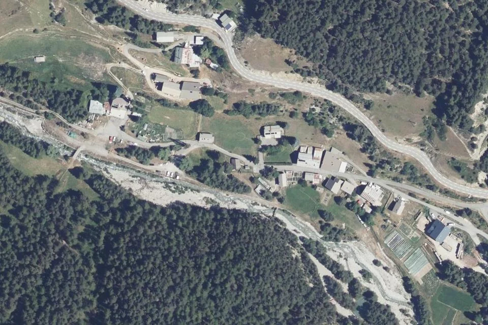
Arvieux · Hautes-Alpes
Starting from the hamlet of Les Moulins in Arvieux, La Saga de l'herbe combines hiking with a game exploring pastoral heritage. The official three-hour duration includes around 1 hour 30 minutes of walking and 1 hour …
View details →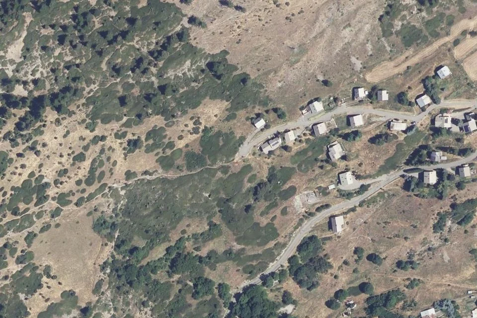
Aiguilles · Hautes-Alpes
The Sentier des Fourmis offers an interpretive walk exploring mountain wildlife above Aiguilles. This 3 km out-and-back route starts from parking de la Condamine; follow the waymarks carefully at junctions.
View details →