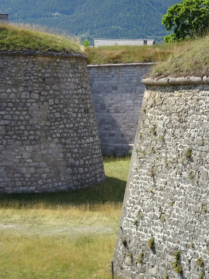
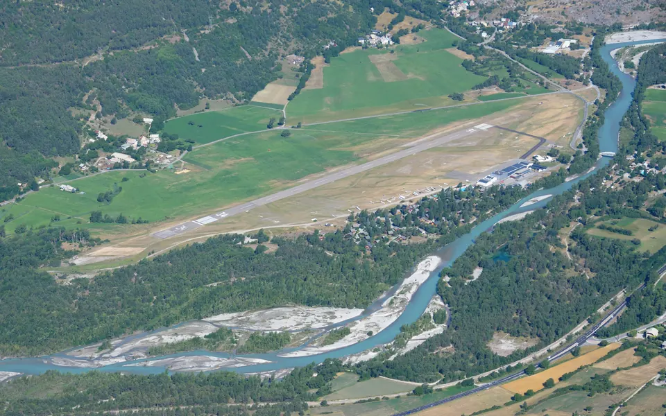
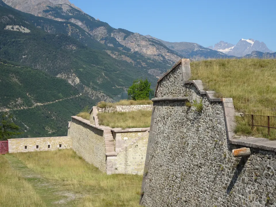
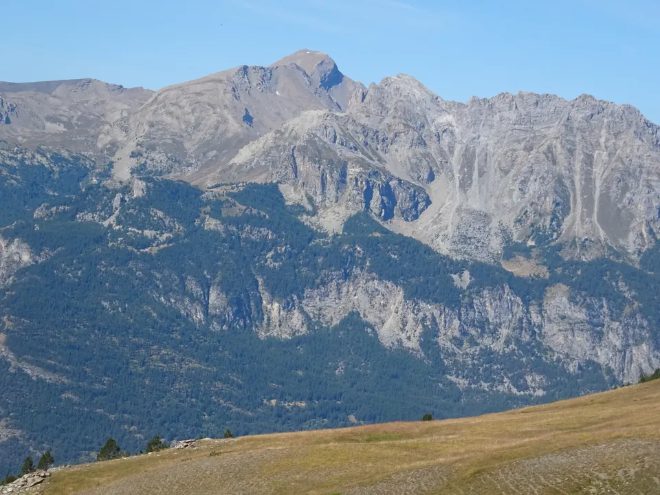
This mountain bike loop starts at Saint-Crépin airfield and heads to Mont-Dauphin. It offers a chance to discover the fortified village and the landscapes where the Guil and Durance valleys meet.
Fortifications of Mont-Dauphin, photographed on 23 August 2021. Celeda · CC BY-SA 4.0 · Credits · Resized and compressed in WebP format; proportions preserved, possible cropping on display. Derivative versions under CC BY-SA 4.0.
Plan your visit
Address
Aérodrome de Saint-Crépin
Access and precautions
Use the official mountain bike route track and watch out for other users in inhabited areas. Check path conditions before setting off.
Duration
1 hour 30 minutes
Distance
14.6 km
Difficulty
Easy
Prices
Check prices with the venue on its official website.