The Sentier des Fourmis offers an interpretive walk exploring mountain wildlife above Aiguilles. This 3 km out-and-back route starts from parking de la Condamine; follow the waymarks carefully at junctions.
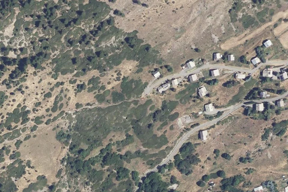
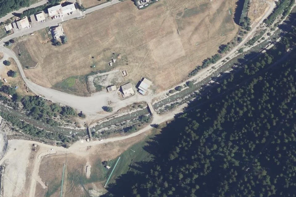
Parking de la Condamine and the trailhead above Aiguilles. IGN aerial photograph, taken in 2025. View of the starting point and its surroundings; it does not replace the route map. IGN · Licence Ouverte 2.0 · Credits · Geographic extract from the BD ORTHO photographic basemap; WebP compression and thumbnail, with no generated or added visual content.
Plan your visit
Address
Parking de La Condamine, Aiguilles.
Access and precautions
Check the recommendations and restrictions on the official listing before setting off.
Duration
2 hours
Distance
3 km
Difficulty
Very easy
Prices
Check prices with the venue on its official website.