Starting from arènes Chabaud in Eyguières, the Vallon des Glauges loop crosses olive groves, vineyards and garrigue scrubland. The official 7.3 km route is rated easy; follow the instructions for road sections and access restrictions for the hills.
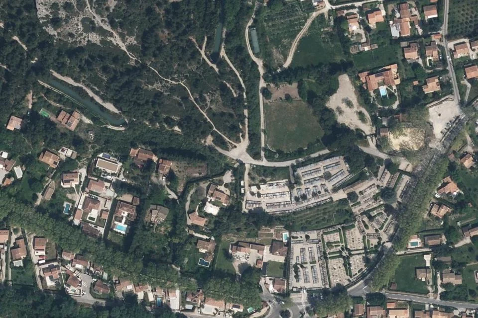
Arènes Chabaud, cemetery and the area around the starting point in Eyguières. IGN aerial photograph, taken in 2026. View of the starting point and its surroundings; it does not replace the route map. IGN · Licence Ouverte 2.0 · Credits · Geographic extract from the BD ORTHO photographic basemap; WebP compression and thumbnail, with no generated or added visual content.
Plan your visit
Address
Parking des arènes Chabaud, Eyguières
Access and precautions
Check access restrictions for the hills before setting off. After point 4, keep to the roadside verge. Do not smoke or light fires in the hills.
Duration
2 hr 30 min
Distance
7.3 km
Difficulty
Easy
Prices
Check prices with the venue on its official website.