Flassan · Vaucluse
FLASSAN - The Combe de Canaud
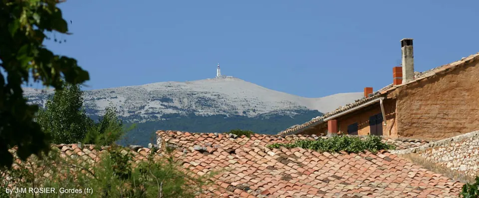
From Flassan, this hike climbs the combe de Canaud on the slopes of the Ventoux. It crosses landscapes shaped by livestock farming and former forestry activities.
View details → Tourism INPROVENCE
Bédoin · Vaucluse
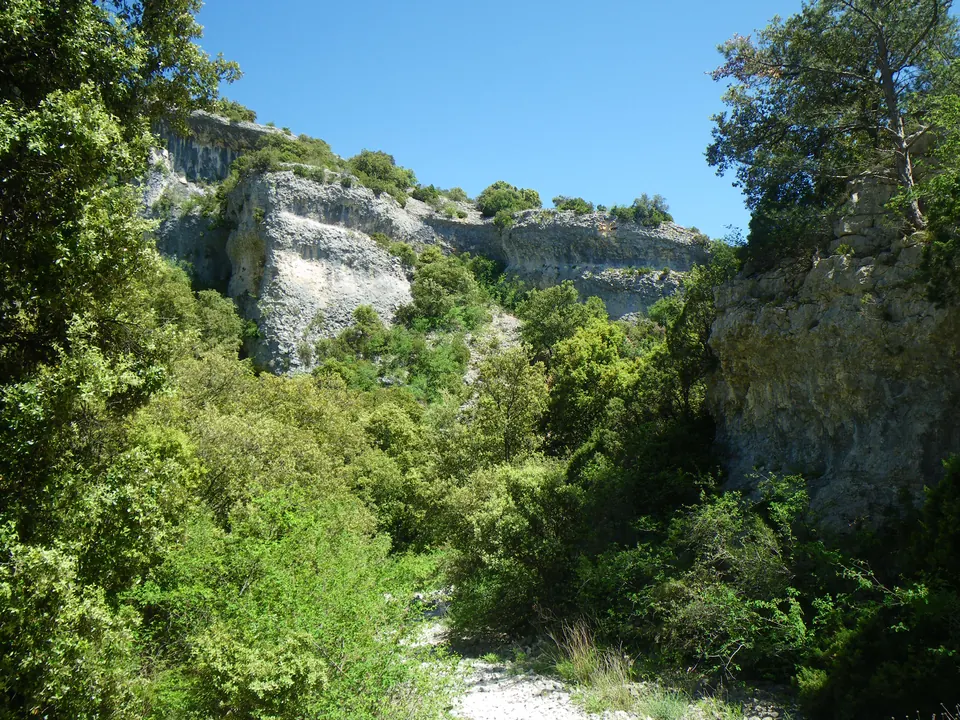
Starting at the combe de Curnier car park in Bédoin, this 9.3 km loop climbs through a narrow gorge on the southern slopes of Ventoux. It reaches the jas des Landerots, then returns via the jas de Pié Gros area. The park listing gives three hours of walking, a moderate difficulty level and 647 m of elevation gain.
Information checked on · Parcs naturels régionaux de la région Sud · Chemins des Parcs
Ideas for outings, practical information and official sources to help you plan your visit. Check conditions with the venue before travelling.
Flassan · Vaucluse
From Flassan, this hike climbs the combe de Canaud on the slopes of the Ventoux. It crosses landscapes shaped by livestock farming and former forestry activities.
View details →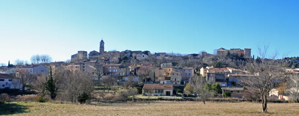
Mormoiron · Vaucluse
This walking loop around Mormoiron passes through vineyards, cherry orchards and olive groves before reaching wooded paths. The official route highlights former gypsum workings and several views of the village and Ven…
View details →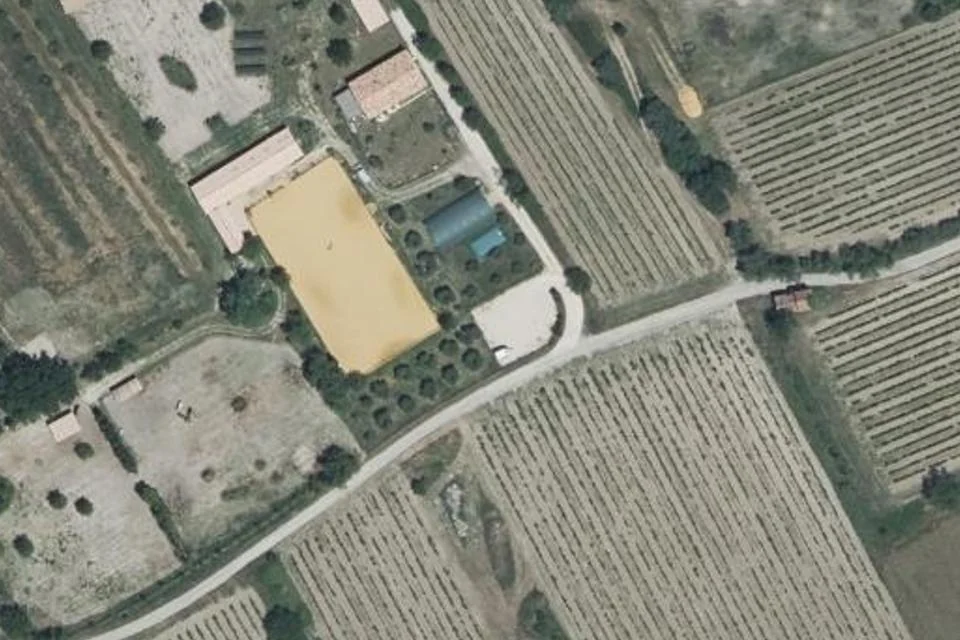
Mazan · Vaucluse
In Mazan, Laura Aubert's stables and donkey farm offer lessons, courses, horse or pony rides and walks with a pack donkey. Activities cater for various ages, with toddler pony sessions from age 2.
View details →