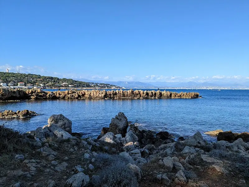
From plage de la Garoupe, the Tirepoil trail follows the rocky coastline of cap d’Antibes. The loop listed by the tourist office is 5 km long and takes around 2 hours. The route includes uneven sections; suitable footwear is required.
Landscape seen from the Tirepoil trail at cap d’Antibes. Patrick Janicek · CC BY 2.0 · Credits · Resized and compressed to WebP; may be cropped for display
Plan your visit
Address
Plage de la Garoupe, accès par l’avenue André-Sella, 06160 Antibes
Access and precautions
Start at plage de la Garoupe, with parking via avenue André-Sella. Sturdy footwear required. The trail closes in rain or wind. Follow the signs and local orders on site. A notice recorded on 21 September 2026 indicated access via the beach during works that began on 7 September; this restriction no longer appeared on the page consulted on 28 September, with no confirmation that the works had ended.
Duration
Around 2 hrs
Distance
5 km
Difficulty
Moderate
Prices
Check prices with the venue on its official website.