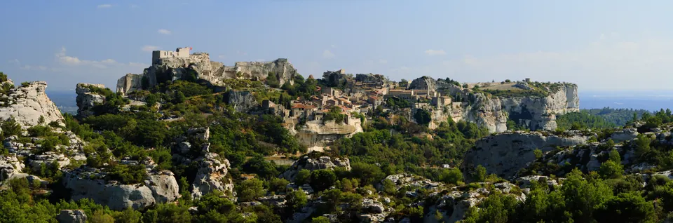
This short loop goes around the Baux rock formation and passes the chapelle des Trémaïe before climbing back into the village via steps. The official route is listed as 1.8 kilometres and a one-hour walk. The cliffs are home to birds that can be watched without disturbing them.
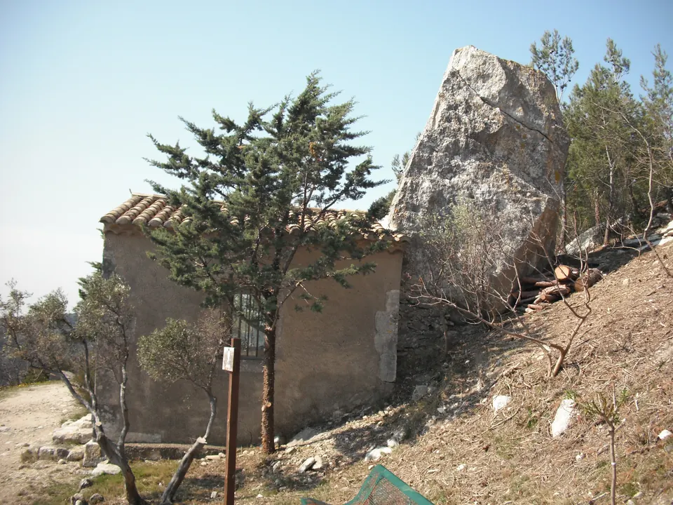
Chapelle des Trémaïe, a heritage site identified on the official route of the same name in Les Baux-de-Provence. Date taken not specified. The photo does not show the starting car park. Malost · CC BY-SA 3.0 · Credits · Resizing and WebP compression; proportions preserved; may be cropped for display. Derivative versions under CC BY-SA 3.0.
Plan your visit
Address
Départ et retour : parking en bordure de la D27A, Les Baux-de-Provence
Access and precautions
The route includes steps and sections along the edge of the D27A: watch out for traffic. Respect wildlife and check conditions and access restrictions for the massif before setting off; access on the day is not confirmed.
Duration
1 hr
Distance
1.8 km
Difficulty
Very easy
Prices
Check prices with the venue on its official website.