Cucuron · Vaucluse
Water heritage trail
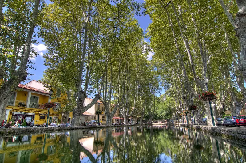
Eleven information panels guide you as you discover the village's fountains and washhouses. The map marker is on place de l’Étang, by the pond shown on the municipal trail map.
View details → Tourism INPROVENCE
Cucuron · Vaucluse
Twenty information panels explain Cucuron's built heritage along its streets. Place de l’Étang is an access point to the network of trails shown on the municipal map.
Information checked on · Commune de Cucuron
Ideas for outings, practical information and official sources to help you plan your visit. Check conditions with the venue before travelling.
Cucuron · Vaucluse
Eleven information panels guide you as you discover the village's fountains and washhouses. The map marker is on place de l’Étang, by the pond shown on the municipal trail map.
View details →Cucuron · Vaucluse
Sixteen photographs by Marc Deydier, taken between 1906 and 1916, are displayed at the locations they depict. The map marks the access point on place de l’Étang; the photo in this listing shows the pond today, not a h…
View details →Cucuron · Vaucluse
The weekly market occupies the squares around l’Étang and part of the neighbouring street.
View details →