This short hike from Guillestre leads to Le Pain de Sucre, a local viewpoint reaching 1,137 m, not to be confused with the peak at col Agnel. The official listing gives a distance of 2.2 km, a duration of around 1 hour 30 minutes and an easy difficulty rating. The climb ends with a short, steeper section; the return follows the canal de la Longeagne. Snow or ice can make conditions much more difficult.
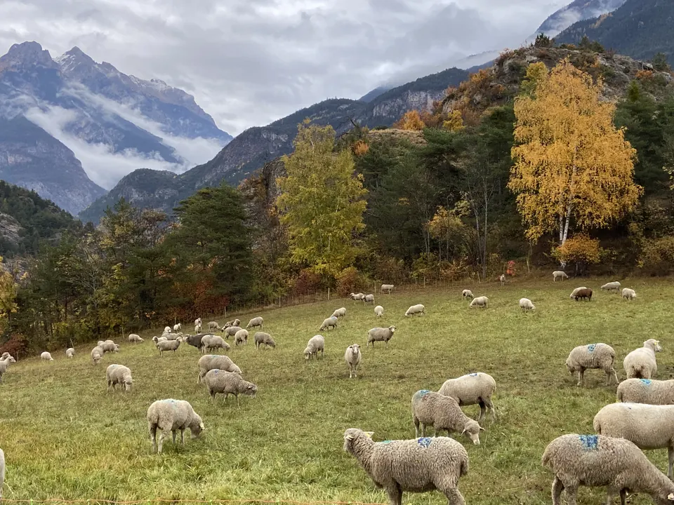
Le Pain de Sucre de Guillestre and the Guil valley, photographed on 30 October 2021. This is the hill near Guillestre, not the peak of the same name at col Agnel. TouN · CC BY-SA 4.0 · Credits · Resized and compressed to WebP; proportions preserved; may be cropped for display. Derivative versions under CC BY-SA 4.0.
Plan your visit
Address
Départ indiqué par l’office de tourisme pour le Pain de Sucre, 05600 Guillestre
Opening times
All year round, subject to favourable weather and snow conditions.
Access and precautions
The marker is the starting point published by the tourist office, not the summit. Follow the official description or track. In spring and autumn, the trail may be icy; in winter, mountain equipment and experience are necessary. Check the weather and relevant snow/avalanche information, and turn back if conditions exceed your ability. Dogs must be kept on a lead.
Duration
1 hour 30 minutes
Distance
2.2 km
Difficulty
Easy
Prices
Check prices with the venue on its official website.