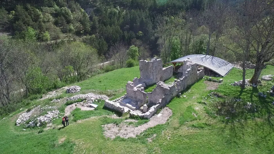
Le Saix · Hautes-Alpes
LE SAIX - Clausonne loop
From Le Saix, this loop reaches the ruins of Clausonne Abbey through the hills of the Baronnies. Valleys, gorges and mountain stretches accompany your exploration of this historic site.
View details → Tourism INPROVENCE
The Tourism IN catalogue
Ideas for outings, practical information and official sources to help you plan your visit. Check conditions with the venue before travelling.
117 · Walks and trails
Le Saix · Hautes-Alpes
From Le Saix, this loop reaches the ruins of Clausonne Abbey through the hills of the Baronnies. Valleys, gorges and mountain stretches accompany your exploration of this historic site.
View details →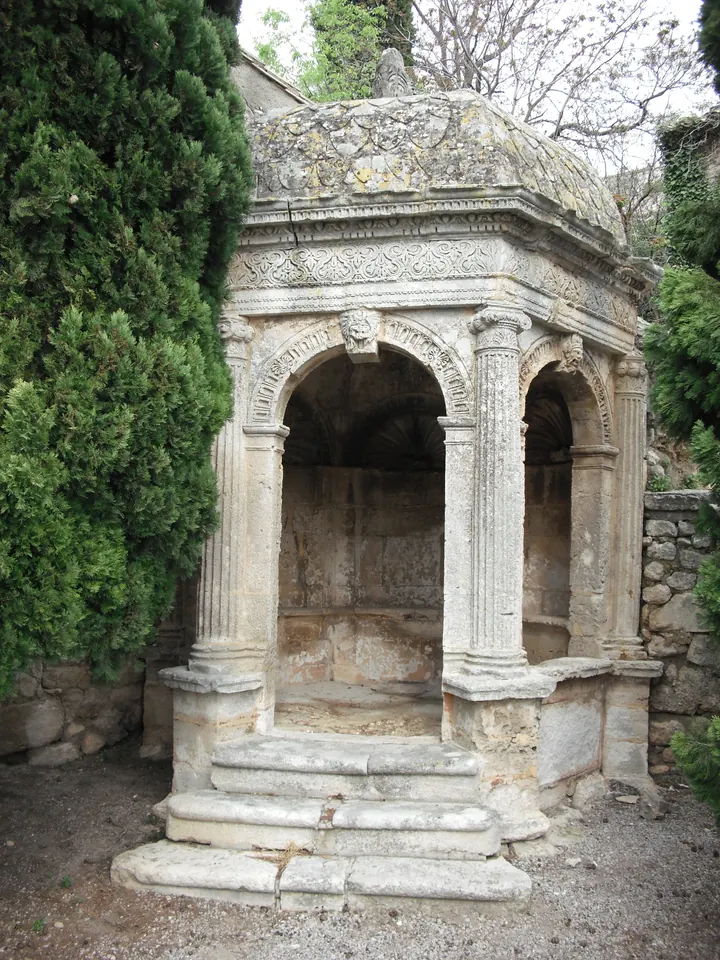
Les Baux-de-Provence · Bouches-du-Rhône
Starting at the pavillon de la Reine Jeanne in Les Baux-de-Provence, this loop explores landscapes shaped by bauxite mining. The route takes in tracks, hills and remnants of the past around Le Deffend and the Montpaon…
View details →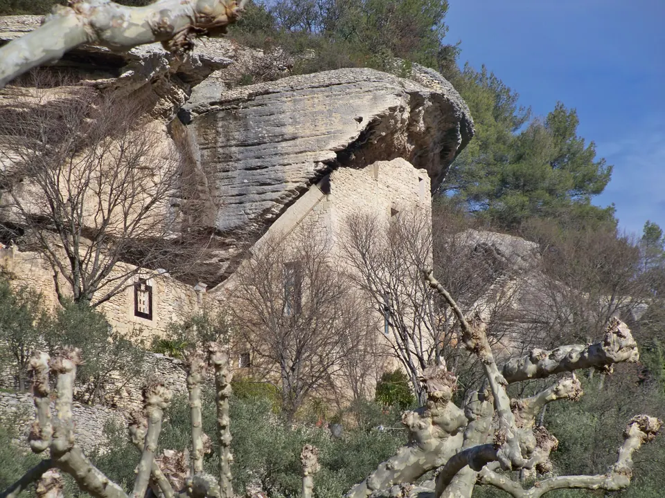
Beaumettes · Vaucluse
This loop leaves the village of Les Beaumettes and heads into the plateau's garrigue scrubland and woods. The route passes cave dwellings, dry-stone walls and old rural structures before descending towards the town hall.
View details →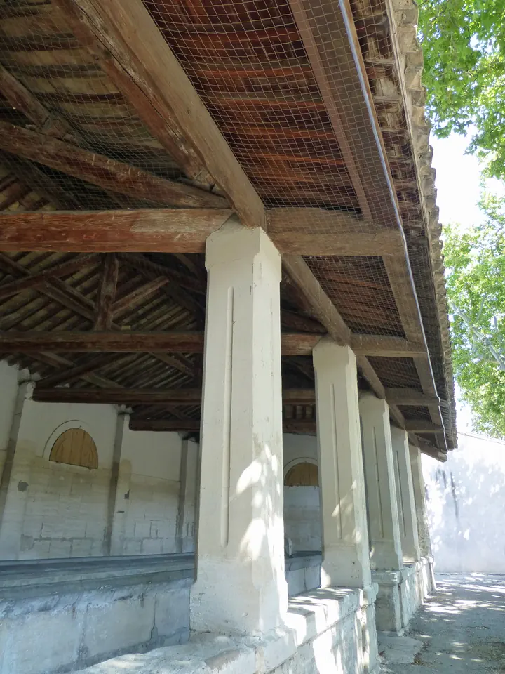
Maussane-les-Alpilles · Bouches-du-Rhône
This short loop in Maussane-les-Alpilles follows the traces of water through the village. Washhouses, fountains and small streams offer a different way to discover the historic centre.
View details →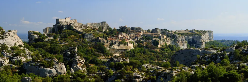
Maussane-les-Alpilles · Bouches-du-Rhône
Starting in Maussane-les-Alpilles, this cycling route circles the rock of Les Baux-de-Provence. Small roads offer several views of the village, cliffs and limestone landscapes of the Alpilles.
View details →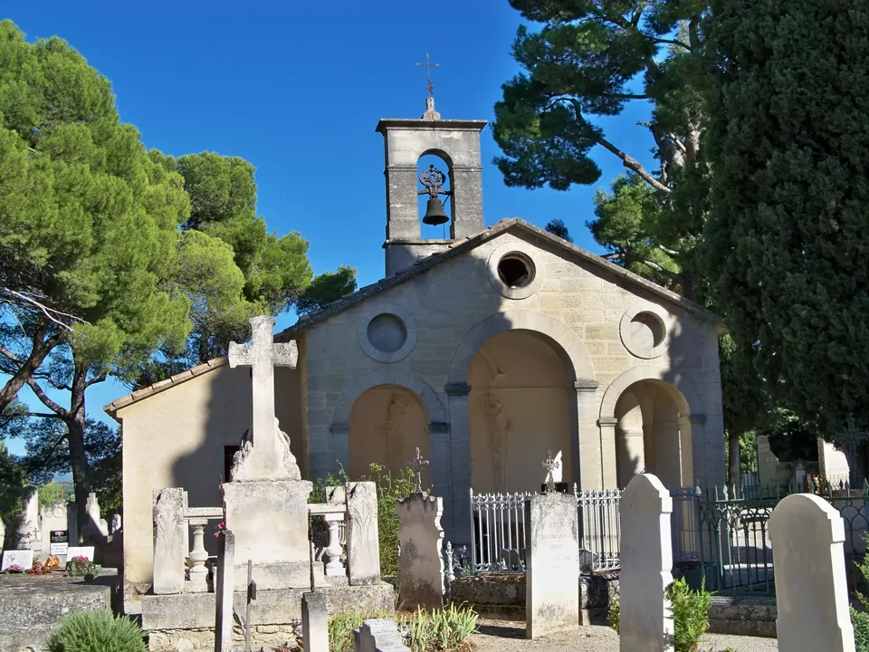
Mazan · Vaucluse
From Mazan, this loop connects Notre-Dame de la Brune, Saint-Alban and Notre-Dame de Pareloup. Farm paths, tracks and a return through the village offer a chance to discover religious heritage at the foot of Ventoux.
View details →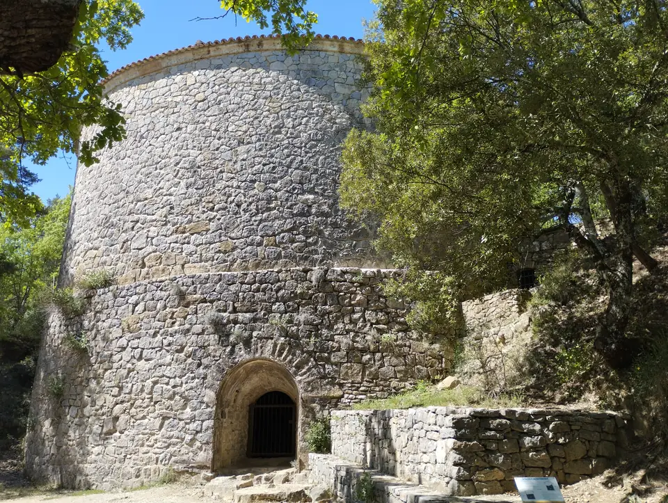
Mazaugues · Var
This long loop from Mazaugues crosses forest and Mediterranean scrubland to the Pivaut ice house. The return via the Gaudin plain rounds off your discovery of this historic ice-storage facility.
View details →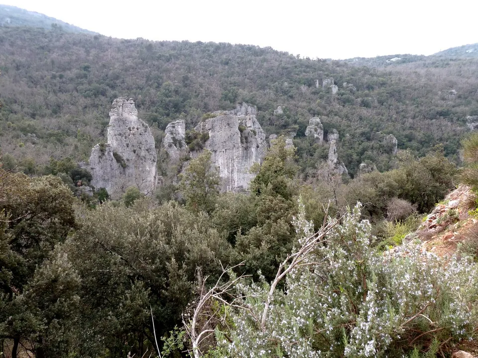
Méounes-lès-Montrieux · Var
Starting near the chartreuse de Montrieux, this hike leads to the aiguilles de Valbelle in the Morières-Montrieux forest. The rocky pinnacles are the main highlight of this demanding circuit.
View details →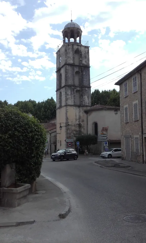
Méounes-lès-Montrieux · Var
Starting at Méounes cemetery, this short loop crosses the village before climbing towards La Vierge and chapelle Saint-Michel. A church, former village facilities and viewpoints line this walking route.
View details →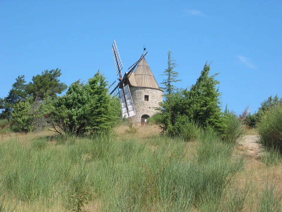
Montfuron · Alpes-de-Haute-Provence
Around Montfuron, this route connects the village's heritage with an exploration of its rocks and landscapes. Look out for traces of human activity in the terrain of the Luberon.
View details →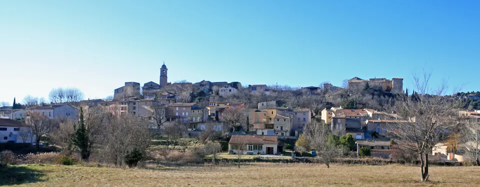
Mormoiron · Vaucluse
This walking loop around Mormoiron passes through vineyards, cherry orchards and olive groves before reaching wooded paths. The official route highlights former gypsum workings and several views of the village and Ven…
View details →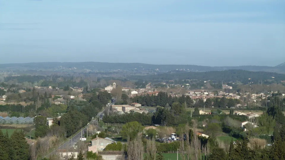
Mouriès · Bouches-du-Rhône
This alternative cycling route connects Mouriès and Aureille along the roads of the Alpilles, between olive groves, hills and vineyards. It passes through Pas de la Figuière before returning to Mouriès via the Destet …
View details →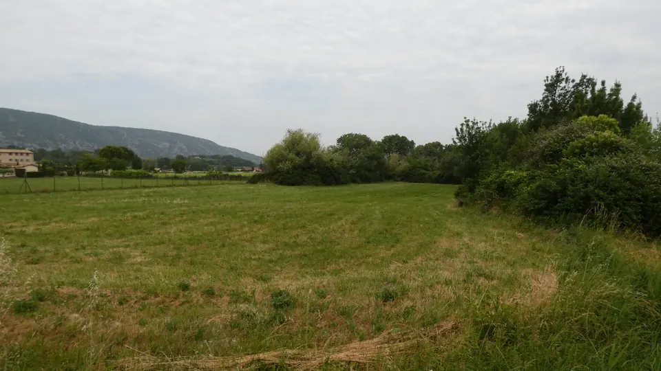
Oppède · Vaucluse
This short loop explores the wet meadows of Poulivets in Oppède. The path follows a variety of natural habitats, from reed beds to trees and open spaces, with the Petit Luberon in the background.
View details →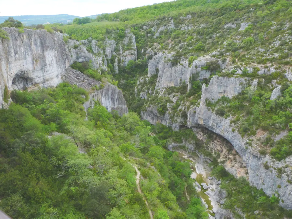
Oppedette · Alpes-de-Haute-Provence
The Oppedette loop follows the edges of the limestone gorges carved by the Calavon. The route alternates between canyon views and stretches across a rocky plateau near the village.
View details →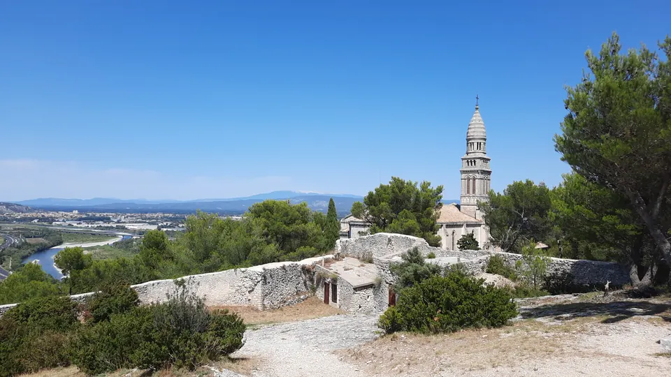
Orgon · Bouches-du-Rhône
From Orgon, this cycling variant of the Alpilles-Roquemartine circuit explores the roads and villages of the eastern Alpilles. Limestone hills and Orgon's heritage mark the route.
View details →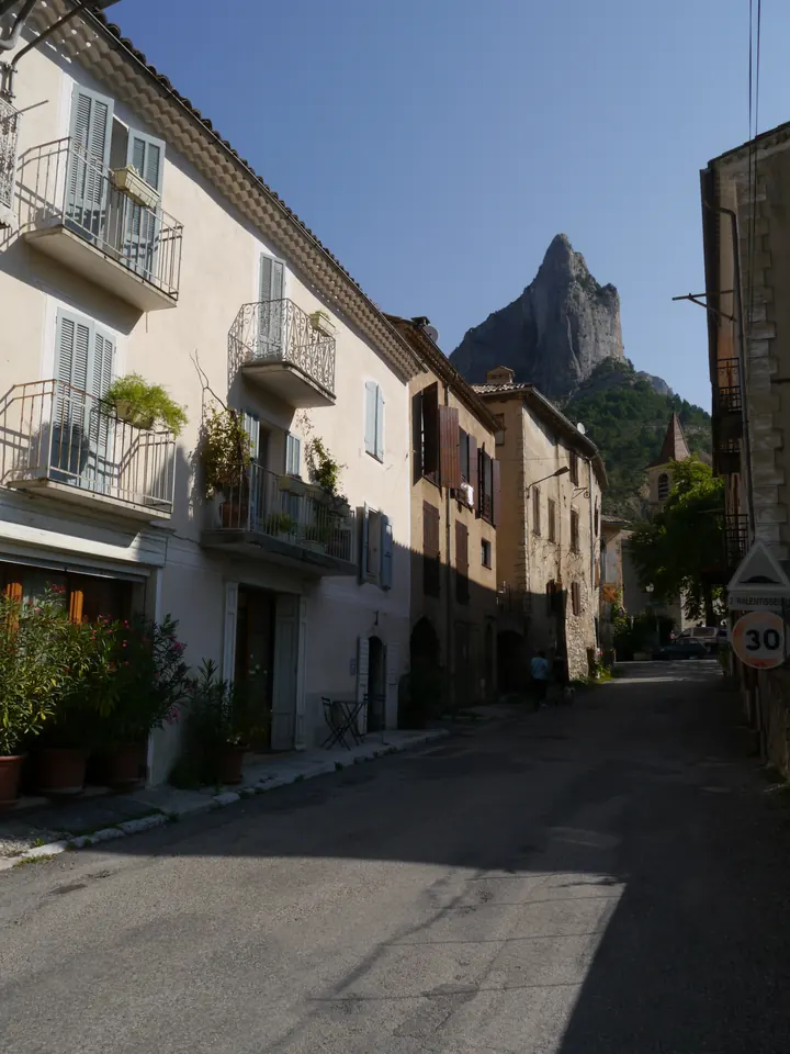
Orpierre · Hautes-Alpes
This two-day route links Orpierre and Trescléoux through villages and along ridges. It combines the discovery of local Protestant history with panoramic views of the Baronnies mountains.
View details →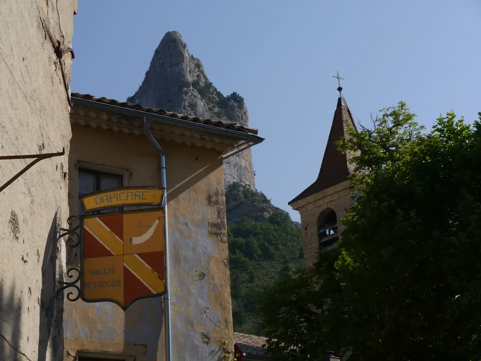
Orpierre · Hautes-Alpes
This cycle loop links Orpierre, Villebois-les-Pins and Laborel via Col de Pierre Vesce. The winding roads cross from Hautes-Alpes into Drôme, with a sustained climb to the pass and views of the Baronnies provençales l…
View details →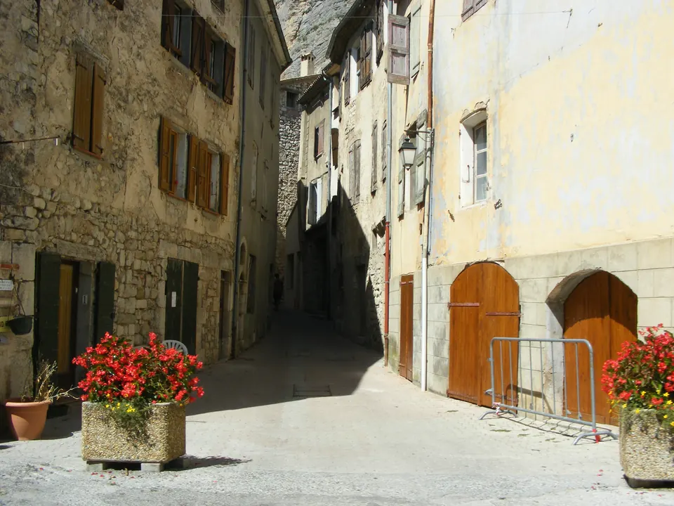
Orpierre · Hautes-Alpes
Starting in Orpierre, this loop climbs through woodland and along hillside paths towards Le Rocher Saint-Michel. The high points overlook the Céans and Buëch valleys. The return includes a steep descent on narrow paths.
View details →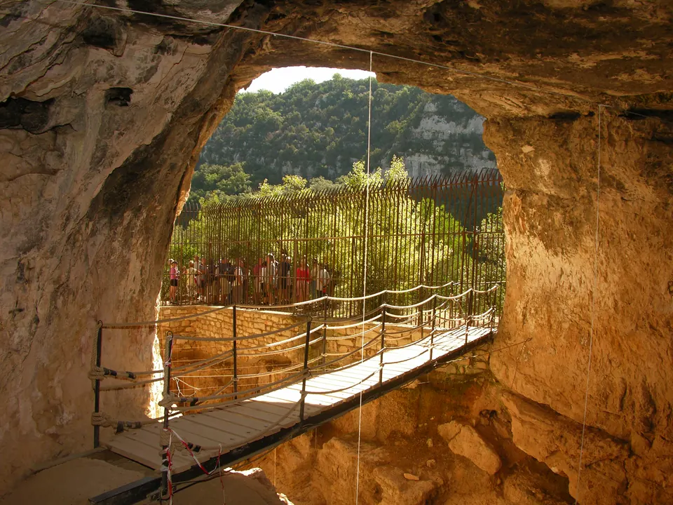
Quinson · Alpes-de-Haute-Provence
From Quinson, the La Baume Bonne trail leads to the area around a prehistoric cave above the Verdon. Landscape interpretation features help you explore the site.
View details →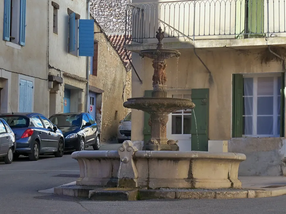
Quinson · Alpes-de-Haute-Provence
Starting from the Prehistory Museum car park, the path crosses Quinson before reaching the plateau and Poiraque spring. Fountains, a washhouse, olive trees, vines and lavandin fields line this out-and-back walk explor…
View details →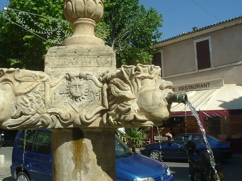
Valensole · Alpes-de-Haute-Provence
Starting at the Valensole tourist office, ten stops introduce you to the heritage of the old town. Follow the route independently with a smartphone: QR codes provide commentary in four languages. The municipality desc…
View details →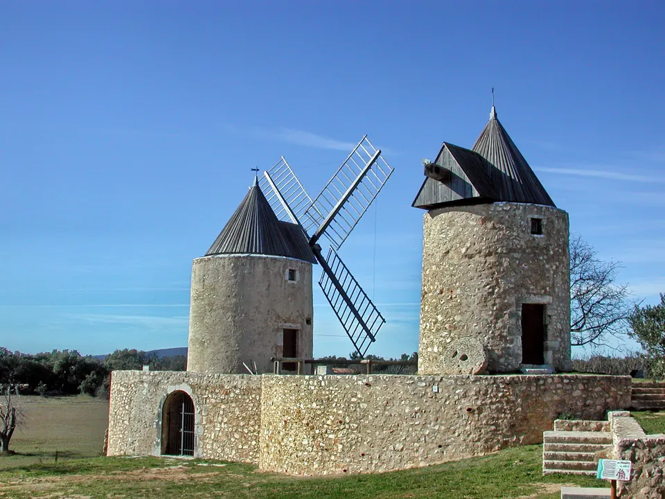
Régusse · Var
Starting from Régusse, this loop heads into the woods and up to the heights of la Colle. It combines historic windmills and rural landscapes with views of the Verdon hills.
View details →Régusse · Var
After passing the two windmills of Régusse, this hike explores the Pélenc state forest. The paths offer a chance to discover former charcoal-burning sites and traces of local forestry history.
View details →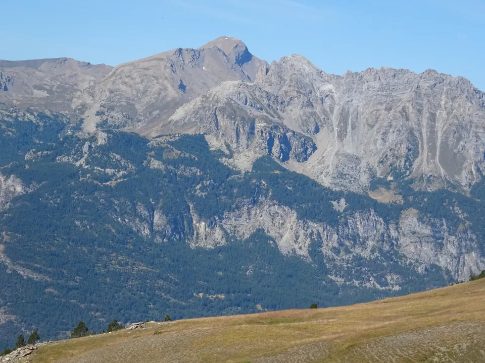
Réotier · Hautes-Alpes
From the cabane de l’Alp, this route climbs to Tête de Vautisse via the vallon de l’Alp and col de Rougnoux. The advertised out-and-back route is 11 km long, takes around five hours and is rated difficult. The summit …
View details →